After lunch, we head to TeleferiQo.
August 28, 2006 - Ecuador, Day 6 (evening)
After lunch, we head to TeleferiQo.
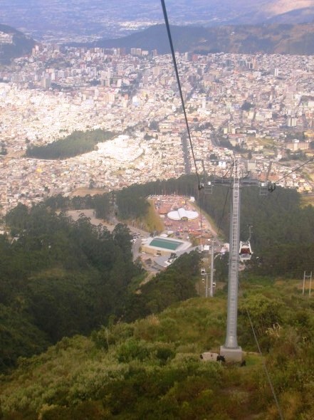
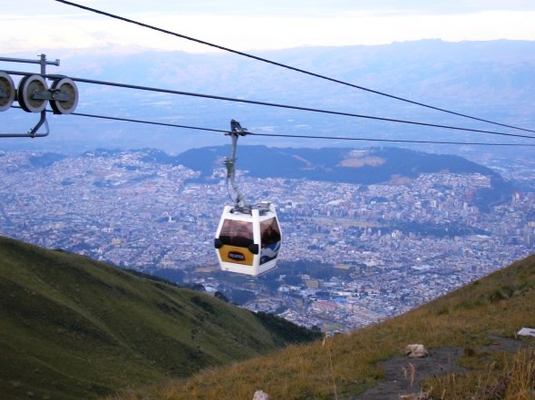
Its a 'ski lift' style gondola...
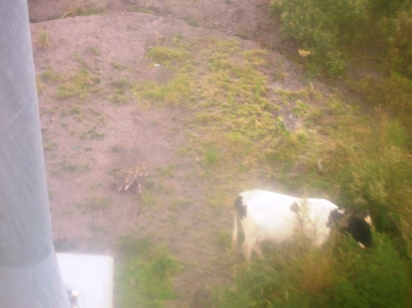
...that takes you past mountain cows (standing here at an approximate elevation of 10,000 feet)...
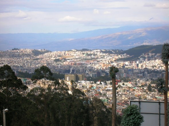
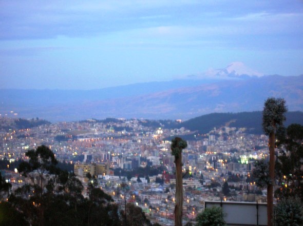
...and goes from the light-headed 9,300 ft elevation of Quito (pictured below)...
...to a breathtaking 13,450 feet.
The line goes over 4,000 feet up, but the trip is 8,202 feet long.
That means the cable is more than 3 miles long.
Imagine the tensil strength, considering the line is only as long as its weakest section.
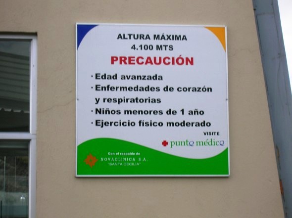
4100 MTS = 13451.443569553805 FT.
But that wasn't quite high enough, so we walked about 200 meters more up past the 14,000 foot mark.
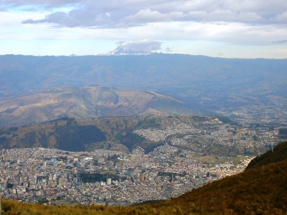
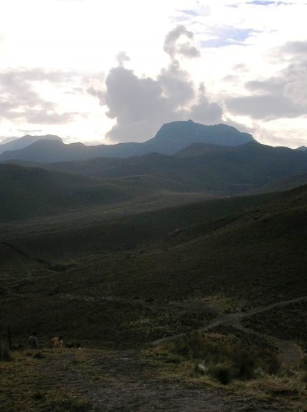
That's Cotopaxi in the distance, an 19,347 foot active volcano and Ecuador's second highest peak.
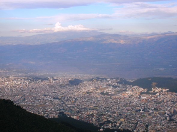
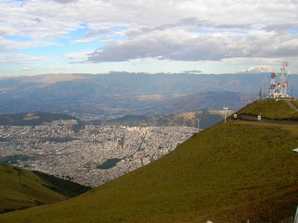
You really get a sense of the shape of Quito from here.
Situated between two rows of Andes peaks, Quito is 3-4 miles wide and 22 miles long.
Antisana - 18,874 of volcano.
See the snow?
Remember - this is in August RIGHT ON the equator.
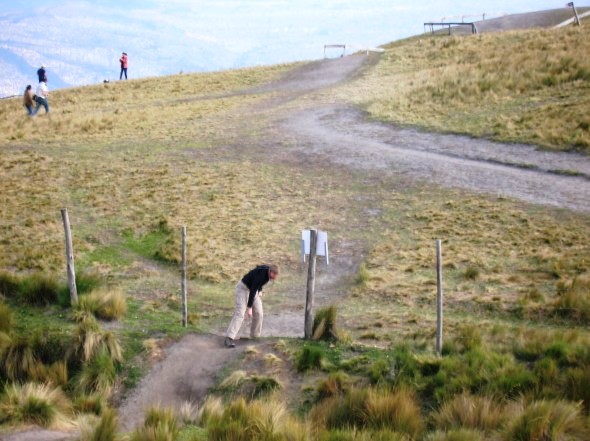
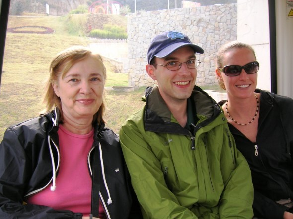
Jill interprets the sign the same way.
You can't come this far and NOT go through the barb-wire fence!
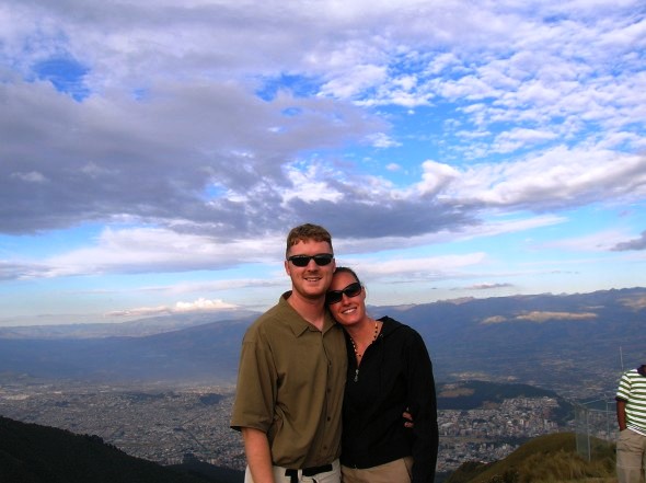
Posing at the top of the middle of the world.
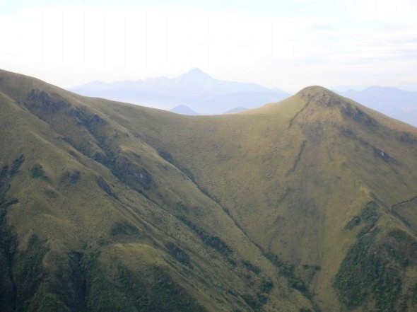
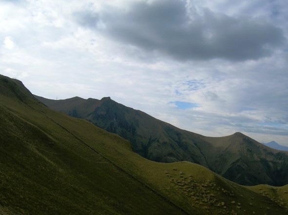
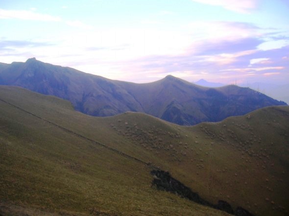
Layers and layers of peaks in the distance.
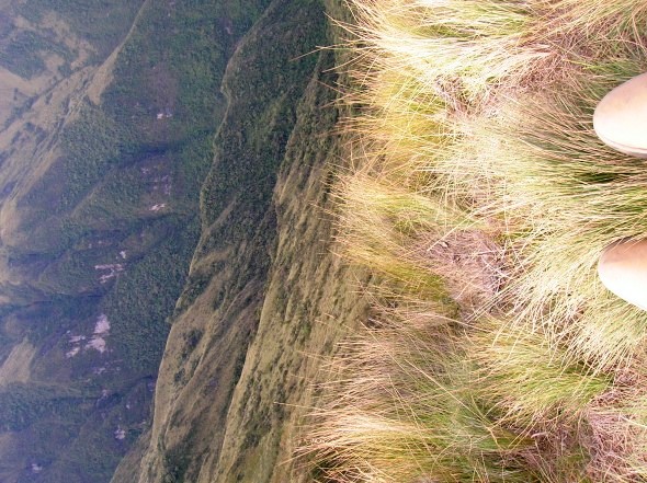
Long way down.
Parts are 90 degrees. Parts seem to lean back inwards.
I'm dizzy just looking at the picture again and remembering the sensation.
Just a neat view.
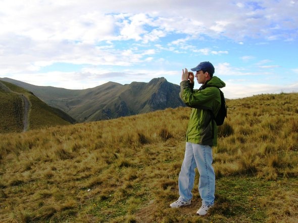
Paul looks for the perfect mountain shot.
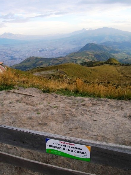
The elevation sign again, stripes of shrubs on hills below the tree-line, volcanoes. Amazing.
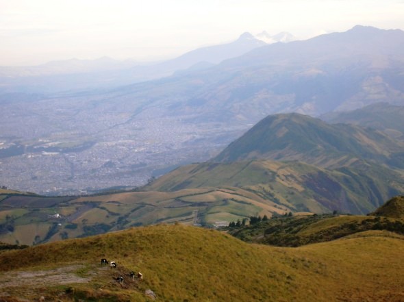
More mountain cows.
Another generally cool view.
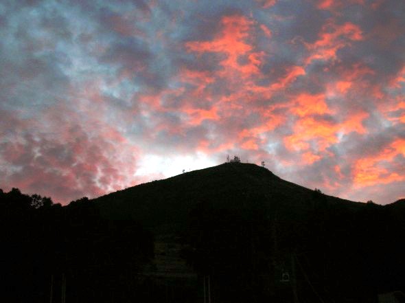
Sunset from near the bottom.
Basically the same shot as before - only at twilight.
The volcano Cayambe in the distance, At 19,000, it is Ecuador's third highest peak.
Tomorrow - the Galapagos!