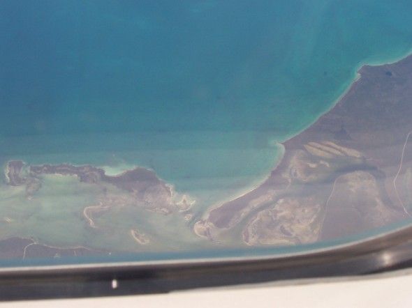
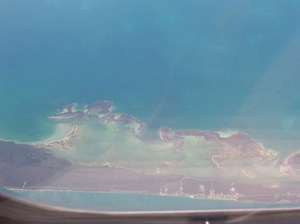
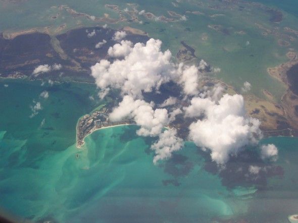
A view of the Bahamas(?) from the air...
A view of the Bahamas(?) from the air...
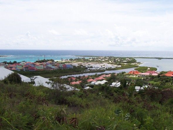
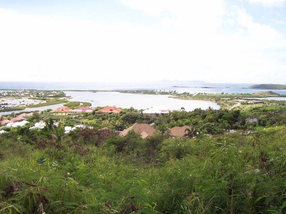
Looking out over Orient Bay in [French] Saint Martin.
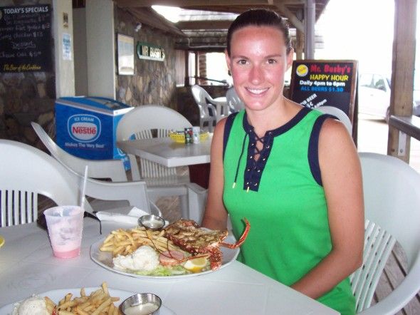
Jill and I have our first lobster at Mr. Busby's, Dawn Beach.
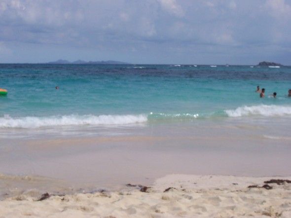
A view of Dawn Beach. (The island in the background is Tintamarre.)
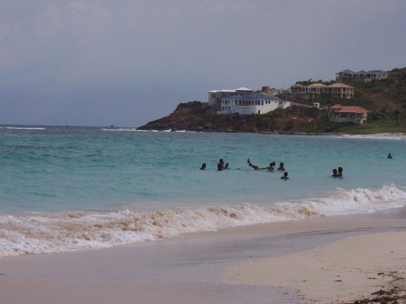
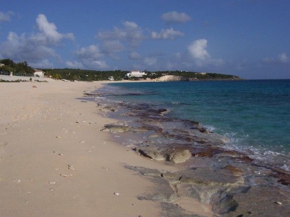
Guana Bay on the Dutch side (beach #3 on our self-guided, coastal tour).
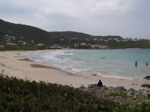
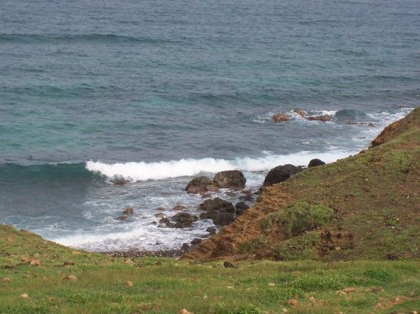
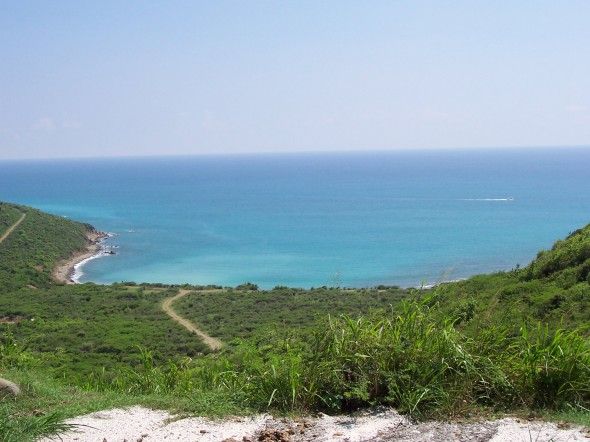
Looking down a mountain at Geneveve Bay.
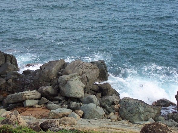
(still Geneveve Bay, where we watched the waves crash along the rocks...)
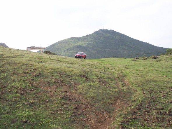
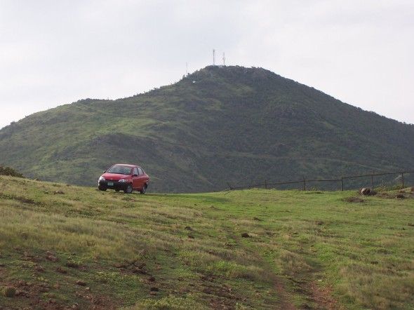
Looking back up the mountain at our rental - a Toyata Yaris. This uphill perspective makes it look much larger than it actually is!
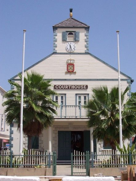
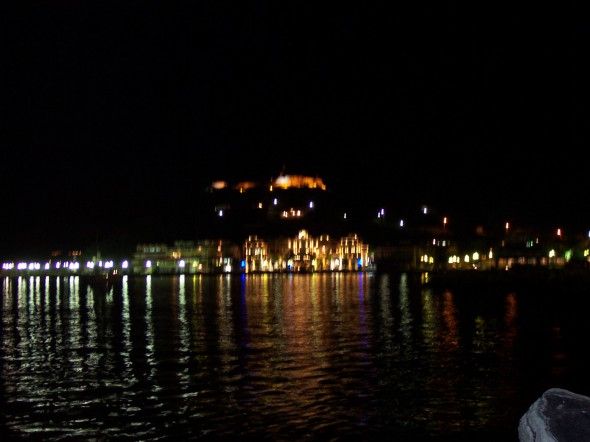
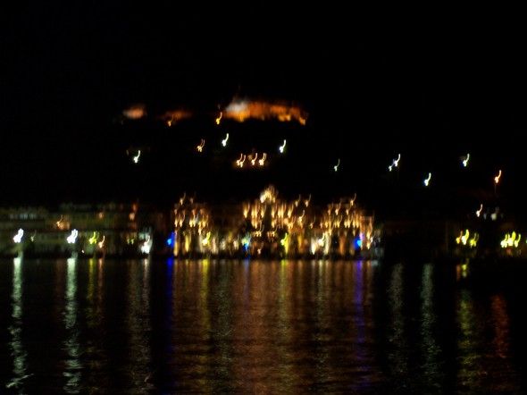
Philipsburg's scenic square.
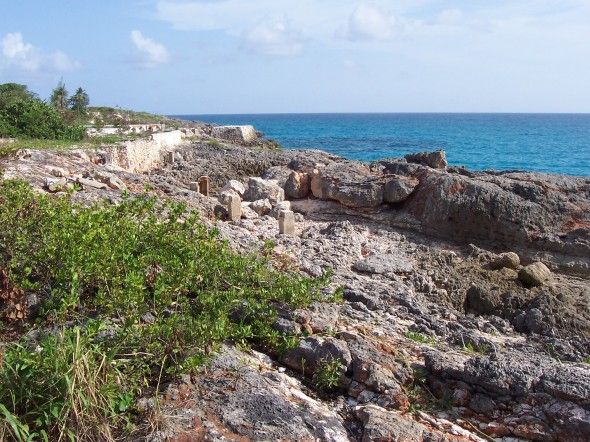
Old ruins from a resort on Mullet Bay
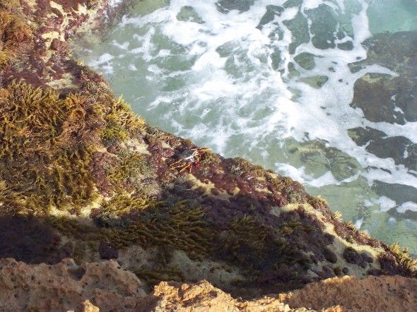
Can you find the crab crawling on the rocks?
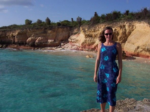
Jill with Cupecoy Beach. The tides are rough on this beach. They say that one day the beach is 300 feet and gone the next. (Three days later, the water was crashing directly on the rocks. The little sand that you see was gone.
Back on the French side (la partie francaise), this is Long Bay.
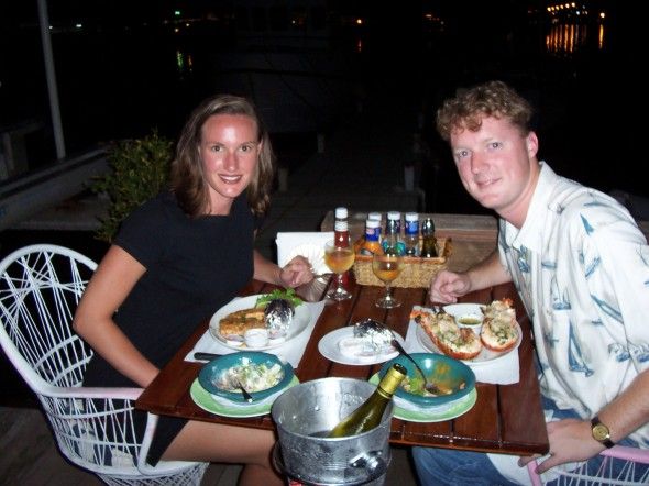
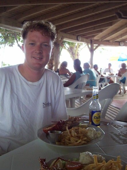
Dinner at Uncle Harry's. Lobster #2 and some awesome red snapper.
The only picture of Baie Rouge we took. It was too fun for pictures. The waves pulled you 20-30 feet in and pulled you back out. It was safe, but you really moved with the water. You could also jump off some rocks into the water. More on that later.
The West Indies Mall in Marigot.
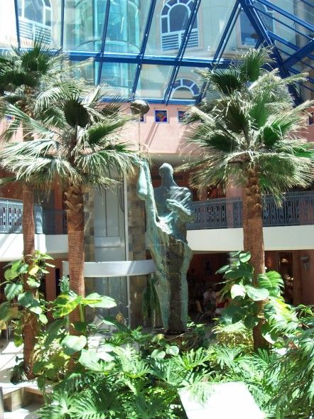
Inside the mall the next day.
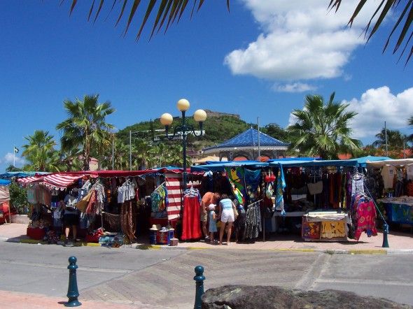
The West Indies Market at Marigot.
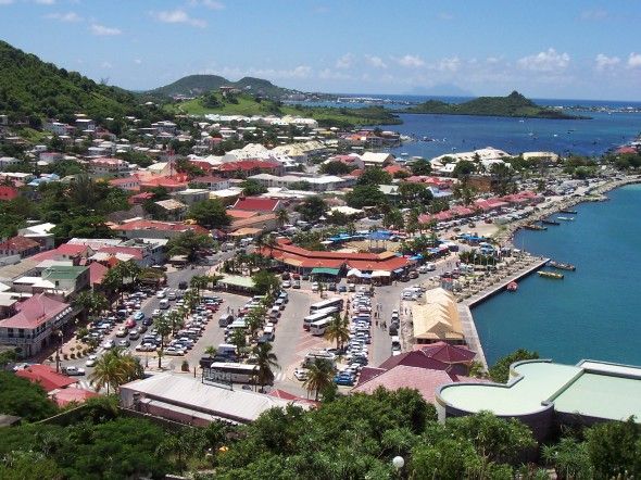
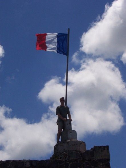
Overlooking Marigot and its market from Fort Louis.
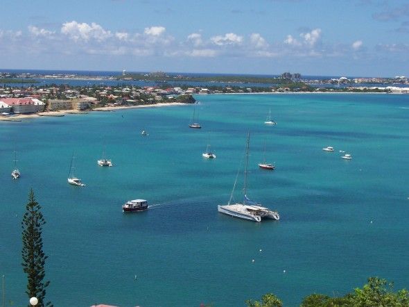
Baie Marigot. Notice "the lagoon" behind Marigot. The Dutch town of Simpson Bay is on the other side of the lagoon, a 10+km drive around the water.
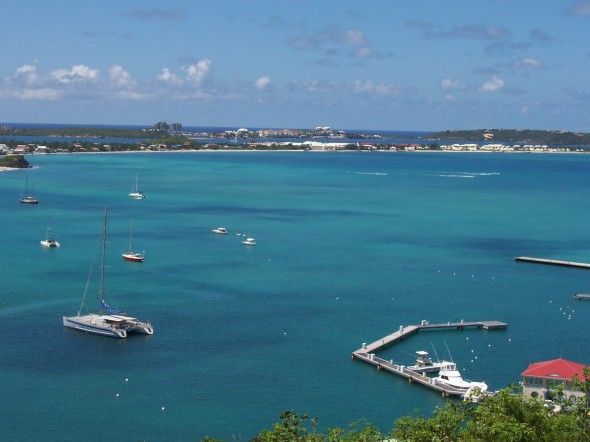
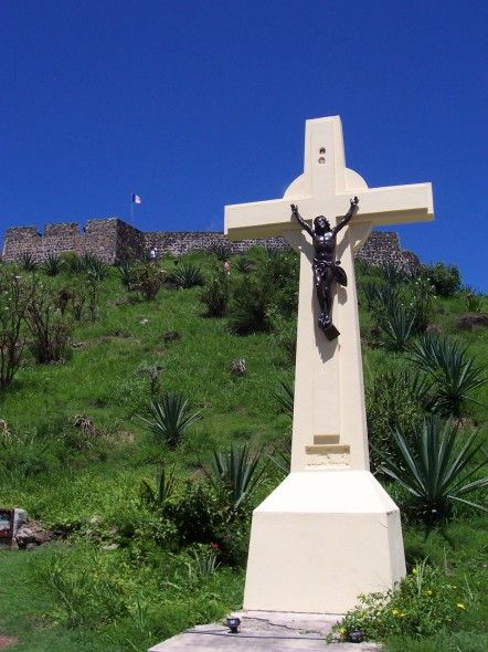
Baie de la Potence, from the fort.
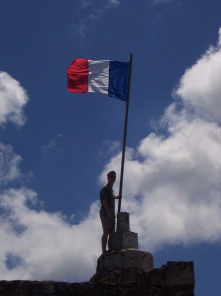
It is not a very large or impressive military structure. (It IS French! It was obviously just meant to buy them emough time to lay down their guns and light a cigarette.)
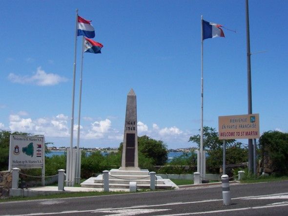
The marker that separates la partie francaise from the Dutch side.
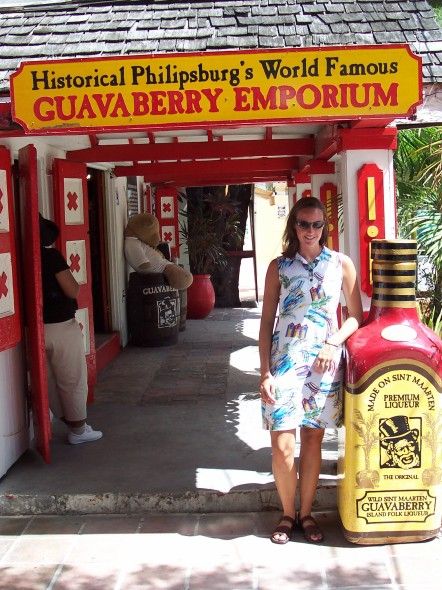
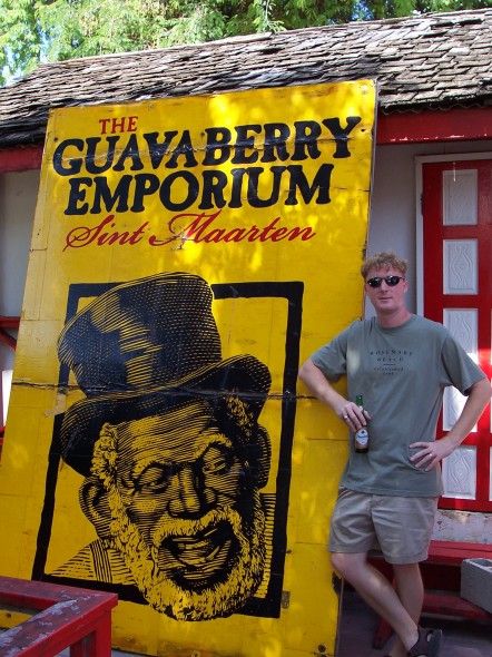
Guavaberry (not related to the guava fruit) is THE unique liqueur on the island.
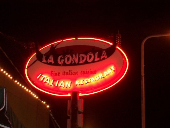
The BEST food and service on the island.
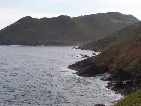
Overlooking Cay Bay from the road to Philipsburg (from Simpson Bay, where we stayed).
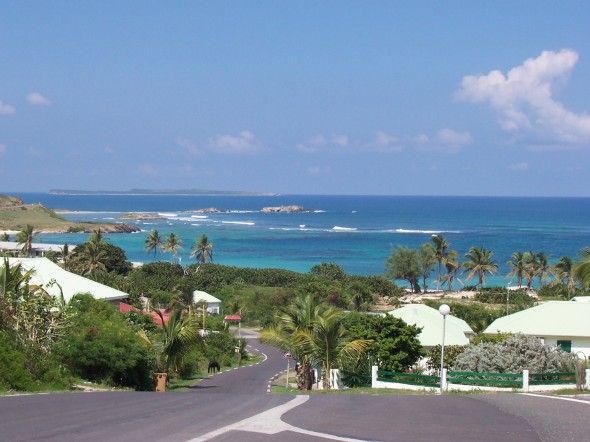
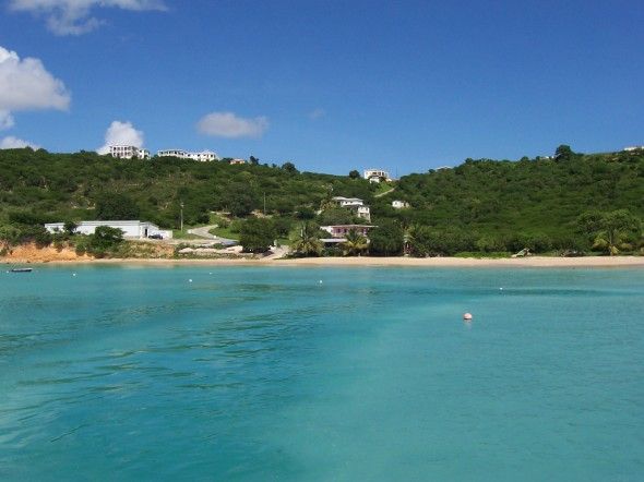
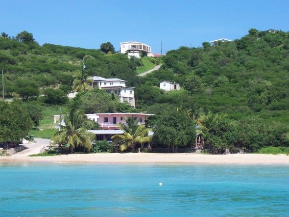
A resort area near Coralita Beach and Oyster Pond.
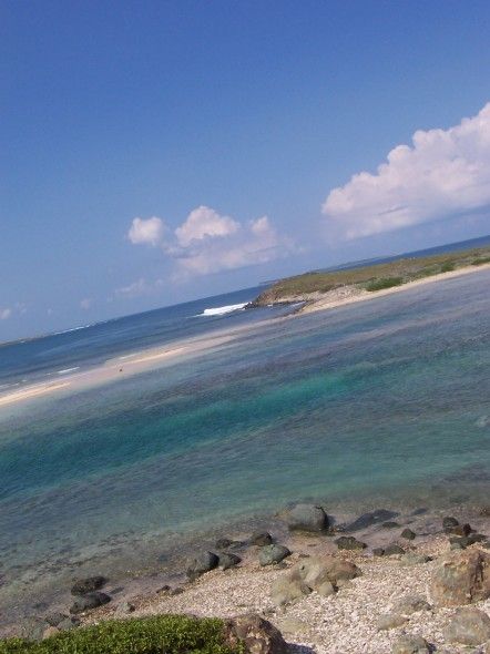
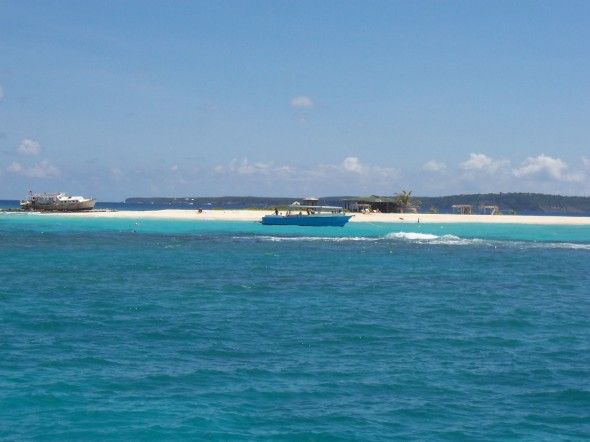
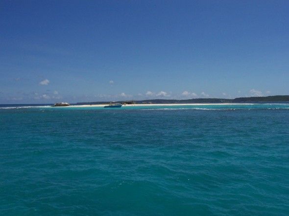
Jill and I swam to this island and walked around it. The current wasn't bad, but we saw a 3 foot shark in the shallows as we were walking up to the island. (Color of a sand shark, but shape of a nurse. No spots/stripes. Anyone...?)
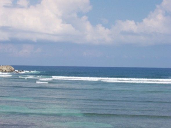
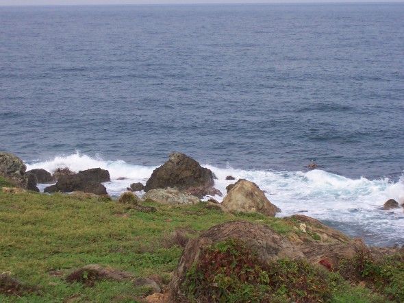
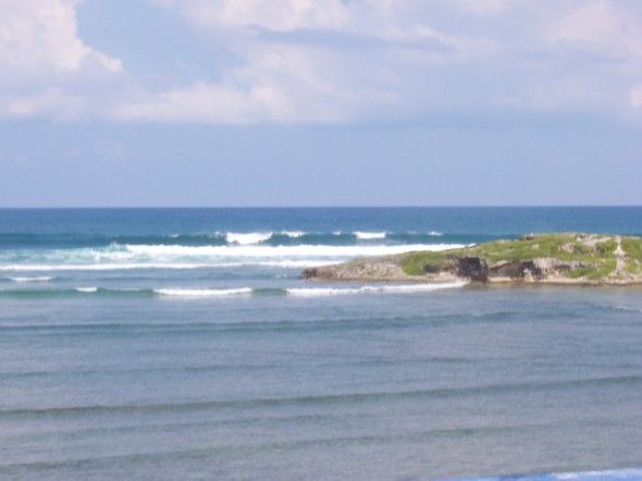
Waves crashing around that little island.
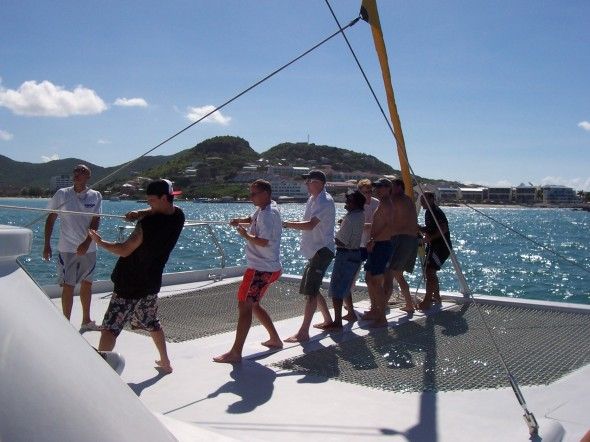
The men hoist the main sail on the catamaran to Anguilla and Prickly Pear.
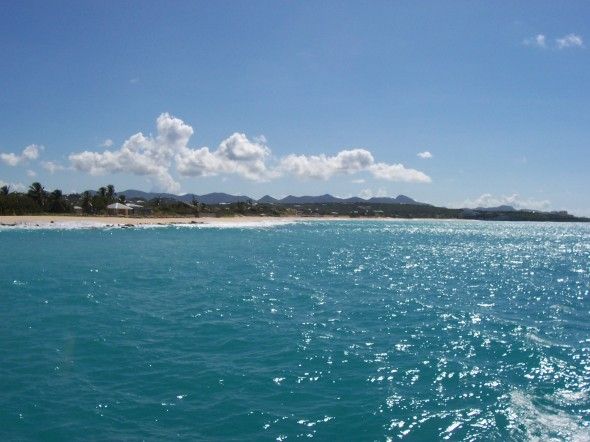
A view of Long Bay. It stretches off the picture in both directions.
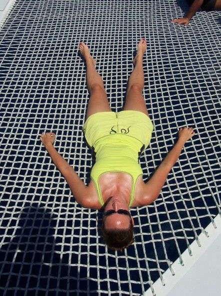
Jill laying on the webbing of the catamaran.
Sandy Island, Anguilla. We snorkled around a reef for a while and walked around the island. Neat conch shells there.
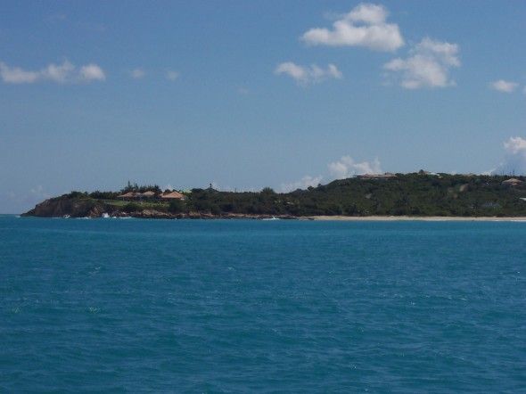
Anguilla's mainland, where we had lunch. (We swam from the catamaran to the island.)
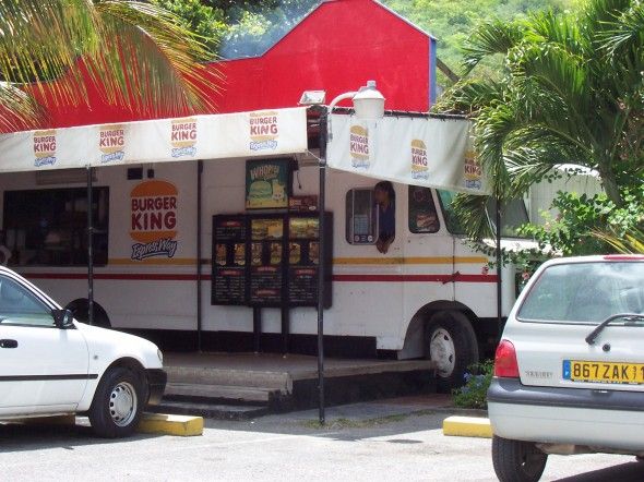
So they had an RV (with no back tires, so it ain't goin' nowhere) as their Burger King building... They thought it was funny that we thought it odd.
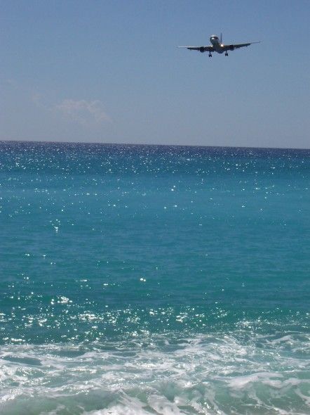
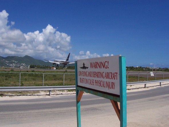
Our plane coming in from Atlanta and landing over Maho Bay.
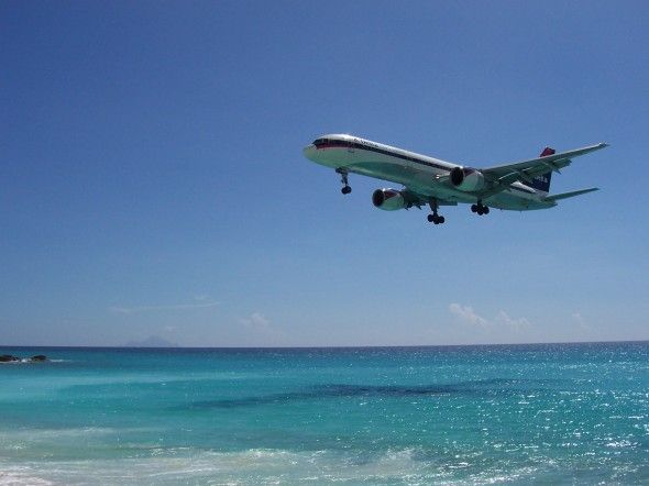
Yeah, people swim in that water as planes land over them.